
$8.38
Rand McNally Wisconsin Easyfinder Map: Laminated—
$8.38
The Story
The durable and convenient Wisconsin Easy To Fold state map will take all the wear and tear your journey can dish out. The heavy\-duty laminated design allows you to mark your route, make notes, then wipe the surface clean for further use. This is a must\-have for navigation whether you\x27re a state resident or just passing through.
Easy to fold means no fumbling
Heavy\-duty lamination allows you to write on, wipe off
Durable and tear resistant
Folds to display individual map sections
Full\-color maps with enhanced cartography
Clearly indicated highways, county boundaries, points of interest, and more
Quick\-reference legend and city index
Product Details
Dimensions: 9\x26#34; x 4.25\x26#34; folded; 18\x26#34; x 17\x26#34; unfolded.
Available for all 50 States!
ASIN: 0528994751
VSKU: BVV.0528994751.G
Condition: Good
Author/Artist:Rand McNally
Binding: Map
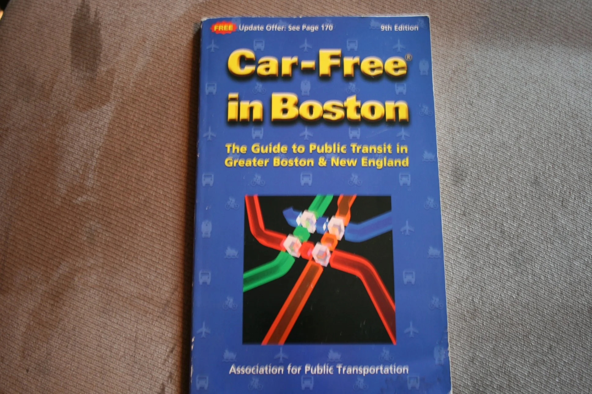
Note: Any images shown are stock photographs and product may differ from what is shown.
Condition Notes: The item shows wear from consistent use, but it remains in good condition and works perfectly. All pages and cover are intact including the dust cover, if applicable . Spine may show signs of wear. Pages may include limited notes and highlighting. May NOT include discs, access code or other supplemental materials.
ASIN: 0528994751
VSKU: BVV.0528994751.G
Condition: Good
Author/Artist:Rand McNally
Binding: Map
Note: Any images shown are stock photographs and product may differ from what is shown.
Condition Notes: The item shows wear from consistent use, but it remains in good condition and works perfectly. All pages and cover are intact including the dust cover, if applicable . Spine may show signs of wear. Pages may include limited notes and highlighting. May NOT include discs, access code or other supplemental materials.
Description
The durable and convenient Wisconsin Easy To Fold state map will take all the wear and tear your journey can dish out. The heavy\-duty laminated design allows you to mark your route, make notes, then wipe the surface clean for further use. This is a must\-have for navigation whether you\x27re a state resident or just passing through.
Easy to fold means no fumbling
Heavy\-duty lamination allows you to write on, wipe off
Durable and tear resistant
Folds to display individual map sections
Full\-color maps with enhanced cartography
Clearly indicated highways, county boundaries, points of interest, and more
Quick\-reference legend and city index
Product Details
Dimensions: 9\x26#34; x 4.25\x26#34; folded; 18\x26#34; x 17\x26#34; unfolded.
Available for all 50 States!
ASIN: 0528994751
VSKU: BVV.0528994751.G
Condition: Good
Author/Artist:Rand McNally
Binding: Map
Note: Any images shown are stock photographs and product may differ from what is shown.
Condition Notes: The item shows wear from consistent use, but it remains in good condition and works perfectly. All pages and cover are intact including the dust cover, if applicable . Spine may show signs of wear. Pages may include limited notes and highlighting. May NOT include discs, access code or other supplemental materials.